Government of Alberta releases State of the Environment report monitoring long term surface water quality and quantity in the oil sands region
February, 2026
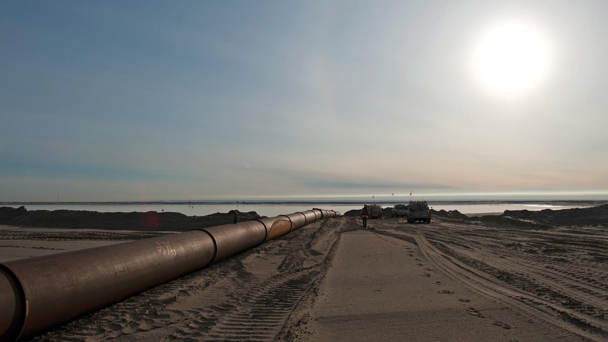
The Oil Sands Monitoring (OSM) Program covers more than 140,000 square kilometres across the Athabasca, Peace River, and Cold Lake oil sands areas. Asserted by the Government of Alberta as one of the largest environmental monitoring programs of its kind, this collaboration between Indigenous communities, the provincial and federal governments, industry, and the regulator, monitors, evaluates and reports on the potential environmental effects of oil sands development.
The OSM’s 2025 State of the Environment Report provides an assessment of the surface water quality and quantity in the Alberta Oil Sands Region (Athabasca, Peace River and Cold Lake areas) through a combination of Western science, Indigenous knowledge, and community-based monitoring.
Overview of report findings
The monitoring results “don’t show obvious widespread impacts linked to oil sands activity.” Overall, the monitoring results highlighted in the 2025 State of the Environment Report found that, “no strong or clear trends were seen in water quality from upstream to downstream” of oil sands activities on the Athabasca River. Water flow rates in the Peace and Athabasca rivers are described as “complex” saying, “the Peace River usually has about three times more water than the Athabasca River and has more stable flows because of upstream dams. In contrast, the Athabasca River has shown signs of both higher and lower flows over time…but there was no clear overall pattern.”
Report methodology
Drawing on results from more than 150 unique sampling locations and reviewing over 2.5 million points of data, the report provides one of the most detailed assessments to date. Its goal is to compare surface water quality and quantity data to existing guidelines, while also identifying where more monitoring is needed to fully understand the state of surface water quality and quantity in the region. The report states “a total of 25 guidelines series for water quality parameters were assessed from five jurisdictions and organizations including guidelines developed for three Indigenous communities under the OSM Program, surface water quality guidelines from Alberta Environment and Protected Areas (EPA), various Canadian Federal Guidelines, select federal guidelines available from the United States, and select guidelines from the World Health Organization (WHO). Comparisons of regional water quality frameworks were also included.”
Summary of findings: Water quality
- Overall, “water quality didn’t show a consistent pattern of change when comparing sites upstream and downstream of oil sands activities on the Athabasca River.”
- Water quality conditions were “fairly consistent across all sites” along the Peace River and showed “consistent screening results” along the length of the Beaver River (in the Cold Lake oil sands area).
- The report also noted, “one exception was the Muskeg River, where many parameters – especially metals like nickel and arsenic and salts like chloride and sulphate – had upwards trends” and specified that “the trending parameters were mostly within or just slightly above screening guidelines.”
- The report summary added “While they may not pose an immediate concern, the steady upward trends highlight the importance of ongoing monitoring to better understand why some parameters are increasing and to identify any future risks early.”
The purpose of the OSM Program is to monitor for changes in the regional environment over time, and report on what the monitoring data outcomes indicate to the public. Industry is looking at the trends on the Muskeg River to determine any potential contribution from oil sands activities on these changes.
Summary of findings: Water quantity
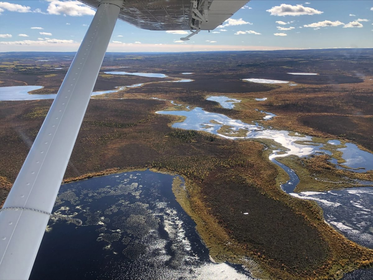
To evaluate surface water quantity, OSM monitors flow rates from 84 water quantity monitoring sites from the Athabasca River, Peace River, Slave River, and their tributaries along with sites in the Cold Lake region and the Peace Athabasca Delta, with data from between 1951 and 2023.
The report found that:
- Water flow rates in the Peace and Athabasca rivers are described as “complex” saying, “the Peace River usually has about three times more water than the Athabasca River and has more stable flows because of upstream dams. In contrast, the Athabasca River has shown signs of both higher and lower flows over time…but there was no clear overall pattern.”
- “The timing of high flows was found to be similar between the Peace and Athabasca Rivers and generally occurred between May and June.”
- “Both rivers also showed similar ice regimes, with ice cover starting predominantly between October and November and usually breaking up around April or May for most locations.”
The OSM’s 2025 State of the Environment Report summarizes the condition of surface water quality and quantity based on an analysis of scientific findings, Indigenous knowledge and community-based monitoring. The report was created collaboratively, including feedback from Indigenous communities, the federal and provincial governments, and industry.